Hiking

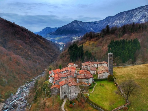
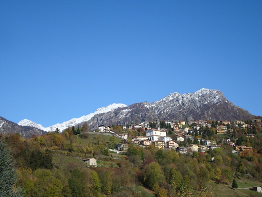
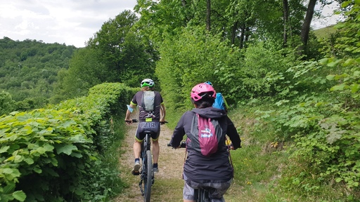
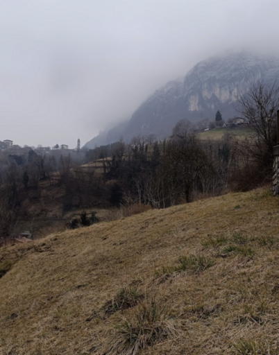
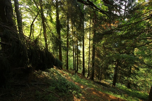
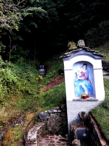
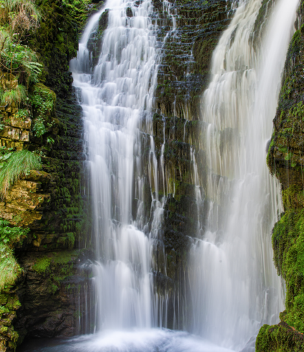
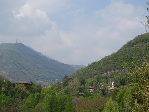
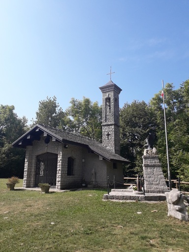
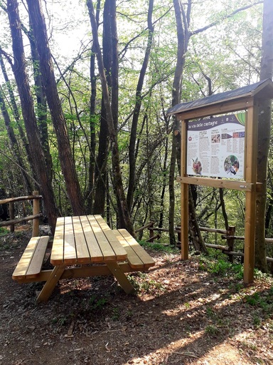
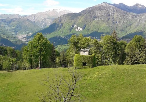
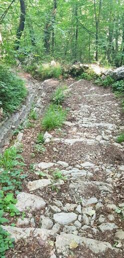
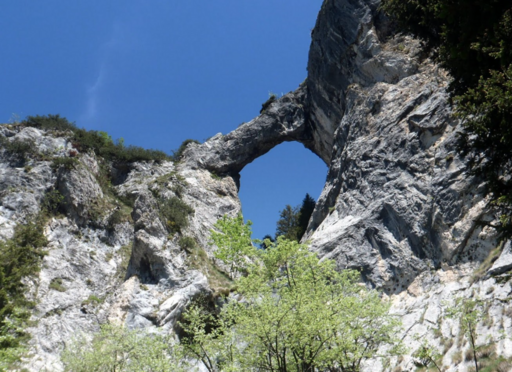
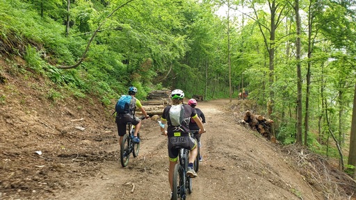
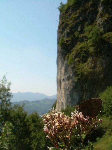
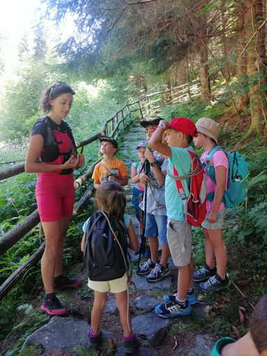
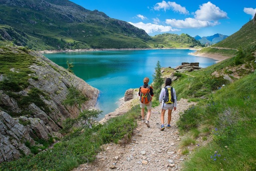
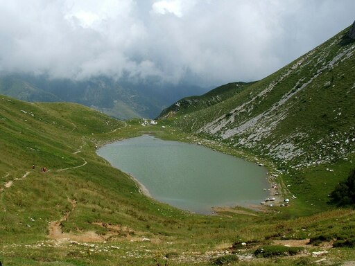
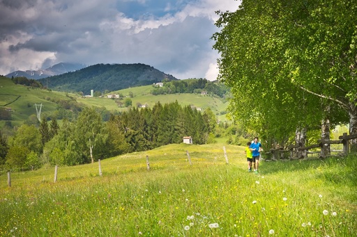
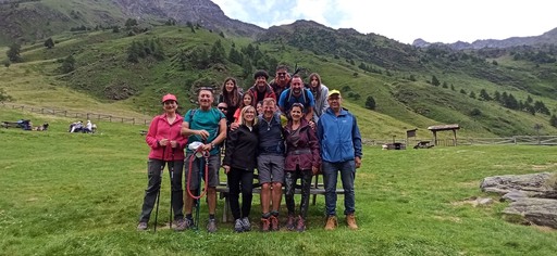
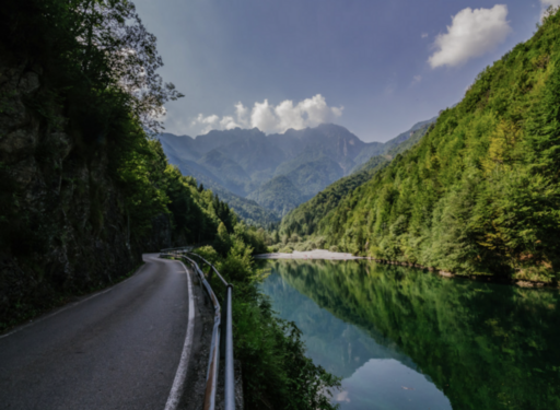
The Brembana Valley is the ideal place for those who love sports and walking. There are numerous paths for all, from short easy walks through ancient village centres to more difficult longer ones which cross mountain peaks. From spring to autumn, immersed in nature you can find hiking for, excursions rich with emotion and thousands of colours.

The itineraries in the valley

Cornalba - Oltre il Colle: step 3

Then the path rises more gently again until you reach thick, dark vegetation and a mountain hut. After the hut, ignore the panoramic path CAI 503 on the right that leads back to Cornalba and continue until you reach a small green valley near Pèta. When you reach the top of the little valley the path continues almost level to the right so you can enjoy a tranquil view of Mount Alben’s slopes, with the ‘lömaghera’ area in front and the little farmhouse to the left.
  • Lenght (mt.)
    1100
  • Duration (h)
    0:50
  • Difficulty
    Mountain hiking
  • Height (mt.)
    290 - NA

Oneta-Sentino-Costa dei Lupi-Pradavalle-Bretto-Cornello

From the car park in Oneta take the mule track which climbs between two houses, bend immediately to the right and continue to Sentino. After you reach the small square leave the tarmacked road and follow the track towards the right which will join Costa dei Lupi at a drinking fountain. The path passes under some arches, descends, rises again and reaches Pradavalle. Go into the hamlet and follow the mule track which brings you to a bird-hunting area situated on a ridge which separates San Giovanni from Cornello and marks the half-way point of this route. Here there are two possibilities: leave the bird-hunting area, take the unpaved road which climbs eastwards (towards Cancervo) and follow it towards the Church of Pianca; or continue towards Bretto where you can climb towards the Church of Ludovico and then descend towards Cornello dei Tasso.
  • Lenght (mt.)
    5800
  • Duration (h)
    02:30
  • Difficulty
    Mountain hiking
  • Height (mt.)
    400 - NA

Mount Gioco

First of all we will point out the shortest way to reach the top of Mount Gioco: climb from Spettino and then follow the tarmacked road which goes to Spettino Alto (high) until you reach Forcella (1073 m) where it ends. Here, in the middle of the meadows, you find the steep path which leads to the top where a cross is placed. Mount Gioco is 1366 metres high and offers a splendid view over the Serina valley and Orobian foothills as well as being the border between the districts of Serina, Dossena and San Pellegrino. It is often also referred to as Mount Zucco, which is in fact most likely the original name, however the similarity in sound between Soc (zucco) and Zoc (game) in Bergamask caused locals to call it Mount Gioco (game) in order to distinguish it from another Mount called with the same name.
  • Lenght (mt.)
    5314
  • Duration (h)
    2:00
  • Difficulty
    Mountain hiking
  • Height (mt.)
    892 - NA

Slow and green steps: Cornalba - Oltre il Colle

This itinerary will bring you in touch with nature. There are many green spaces with meadows where the peasants farmed and raised their livestock on the summer pastures. In towns such as Costa Serina, Cornalba and Oltre il Colle where industrial development had less of an impact, residential areas with simplistic, characteristic rustic architecture in local stone and wood bear silent witness to the hardships of rural life in times past. The Via Mercatorum is an ideal path through the memories, religious architecture, native plants and panoramic views of these wonderful mountains, treasures to be discovered on an easy nature walk. The ancient routes used by men for travel, trade and meetings are unequivocally unique and grant access to even the most remote locations.
  • Lenght (mt.)
    5700
  • Duration (h)
    2:20
  • Difficulty
    Mountain hiking
  • Height (mt.)
    585 - 200

Cantoniera della Passata - Green

Head to the Sanctuary Madonna di Perello where the path rises up a stone staircase characterised by a Via Crucis (stations of the cross) behind the church. Continue until reaching the tarmacked road which leads directly to Cantoniera della Passata.
  • Lenght (mt.)
    5700
  • Duration (h)
    01:30
  • Difficulty
    Turistic
  • Height (mt.)
    NA - NA

The path of the sun and of the senses

The path 'of the sun and of the senses' along Costa Serina, the City is 900 meters above sea level in the Serina Valley, starting from the village of Traffickers that is part of the municipality mentioned above. The path leads from Traffickers to Nespello. This route, called Via Mercatorum, is immersed in complete floral nature and wildlife. Are located in the path of the ancient sources 'Leamàgn' created by our ancestors. Across the path you can enjoy the beauty of walking on an ancient road and surrounded by a charming landscape. After admiring the town of Nespello, continue down the path, in an easy route and well-preserved ancient wall with a 'dry', and you arrive in the town of Ruspino where is the old century church in the Romanesque style. Surpassed Ruspino, the path is accompanied by an excellent paved that leads us, uphill, in Pèta, a place now known to be the site of one of the finest farms in Bergamo
  • Lenght (mt.)
    5000
  • Duration (h)
    1:30
  • Difficulty
    Mountain hiking
  • Height (mt.)
    NA - NA

San Giovanni Bianco-Cornalita-Val Grande

Parking is available at the Alpini of San Giovanni Bianco where you follow the signs for Cornalita. At the first bend take the path on the right which weaves its way to and fro along the tarmacked road to Cornalita. It’s possible to walk in a loop; pass Cornalita and by walking next to the stream of the Val Grande along an unpaved road you reach the Valley Brembana which, if you follow it to the left takes you back to the car park.
  • Lenght (mt.)
    3600
  • Duration (h)
    01:00
  • Difficulty
    Turistic
  • Height (mt.)
    200 - NA

San Giovanni Bianco (Piazzo)-Costa San Gallo

Park the car in the area of Piazzo in San Giovanni Bianco and approx. 100 metres from the start of the road leading to Schiava take an immediate left into an apparent dead end where as the road ceases the path begins. From Costa San Gallo it is then possible to reach San Pietro d’Orzio or continue south towards San Gallo
  • Lenght (mt.)
    920
  • Duration (h)
    0:30
  • Difficulty
    Turistic
  • Height (mt.)
    400 - NA

Mount Zucco

Take the road from the area of the church to the Alpini-mountain shelter in Foppette and from just above here take the first path on the left and experience the most beautiful, tiring and difficult trail of the whole map: the panoramic path of mount Zucco which rises in almost a direct line to the cross on the mountain peak at 1232m. The slope is very steep. Looking up from below you can form an idea of the path by using, first the radio repeater panels and then the electricity pylons as points of reference. Most of the path is formed from steps cut into the earth where at certain points you must use your hands to aid you in scrambling up the rocks. The path is strenuous and at times a little exposed but the hard work is amply compensated with scenic views of San Pellegrino Terme, the Orobian foothills and the Rhaetian Alps as well as the sense of satisfaction gained from reaching the peak
  • Lenght (mt.)
    5250
  • Duration (h)
    2:00
  • Difficulty
    Alpine hiking
  • Height (mt.)
    694 - 623

Mount Molinasco

Above the path which from Sussia (1013 m) goes to Vettarola and Ca 'Boffelli (974 m), is an area of great interest for hiking excursions, it includes the peaks of Cerro, Mount Castel Regina, Mount Foldone, Mount Sornadello, pizzo Grande and Mount Molinasco and has an abundance of different paths which connect them all. This area is large and therefore it is recommended that attention be paid to orientation (as yet, not all paths are well-marked) and excursion estimation times.
  • Lenght (mt.)
    4630
  • Duration (h)
    2:00
  • Difficulty
    Mountain hiking
  • Height (mt.)
    713 - 79

Cornello dei Tasso-Grumo-Bosco-Dossena

From below the hamlet of Cornello, follow the ex provincial road and cross the iron bridge which crosses the river Brembo. Upon arrival in the village of Grumo follow the tracks on the left towards the Church. Once you have reached the white Church of San Rocco (with portico) continue towards the hamlets of Bosco Dentro and Bosco Fuori. From Bosco Fuori you encounter the most wild stretch of this route, there are many paths which intermingle and it is important not to lose track of the main route. Cross the intersection with the road which leads to Miniere del Paglio and continue southwards until you arrive in the vicinity of Colle di Dossena.
  • Lenght (mt.)
    5200
  • Duration (h)
    02:30
  • Difficulty
    Mountain hiking
  • Height (mt.)
    600 - NA

Podona Mount - Purple

Starting from the seat between two hills in the village of Salmezza (reachable by car) , start walking along the path which opens up to the left, once you have passed the small church of S.Barnaba begin the rather steep climb which will take you up the grassy ridge. Continue with care along the chalky ridge which rises and falls, on one side you see Selvino and on the other the beautiful Salmezza meadows. As you proceed you will first reach the summit of Mount Podona (m.1270) and then its second peak which has a metal cross and wooden bench with beautiful views towards Selvino and the villages of the lower Seriana Valley
  • Lenght (mt.)
    2300
  • Duration (h)
    01:30
  • Difficulty
    Mountain hiking
  • Height (mt.)
    NA - NA

Cornalba - Oltre il Colle: step 2

We continue the steep climb on rocky steps. A lovely natural balcony looks out over the Serina Valley and the side of Corna Bianca, called “Panettone” by locals for its loaf-like shape. To the right of the path you can take a break on level ground before entering Cornabüsa.
  • Lenght (mt.)
    200
  • Duration (h)
    0:15
  • Difficulty
    Mountain hiking
  • Height (mt.)
    40 - NA

Pizzo Cerro and Castel Regina

You can reach Sussia starting from Vetta by following the forestry road or alternatively by a well-marked path which starts a little lower, at Frasnito. From the church of San Michele in Sussia, either take the path to the left or climb to the right until you reach the birthplace of the guide Antonio Baroni before again taking a left, then follow the path directly to Mount Zucco all the way to the Chapel of the Grosnello where the road from Catremerio (988 m) ends. From here, next to the shrine take the path which is fairly easy except for the last steep section up to the peak of Cerro (m 1285). To note are the splendid circle of trees used in bird hunting (Spadi) which the path passes and the "Laca the Roculì" (deep cave about 300 m).
  • Lenght (mt.)
    8190
  • Duration (h)
    3:00
  • Difficulty
    Mountain hiking
  • Height (mt.)
    936 - 650

San Giovanni Bianco-Briolo-San Gallo-Dossena (The Trinity)

After Ponte Nuovo be careful not to follow the bend in the road but climb along the steep cobbled road towards San Gallo which turns into a mule track. Follow the mule track until you take the path next to the water mains (crossing the road to Briolo). Continue along the path which follows the road between San Gallo and Dossena until you reach the Church of San Gallo. Continue along the road which flanks the church towards Foppa until you reach a small chapel/shrine. From here the path which passes alongside Calecardi begins and in a little over half an hour will take you to Trinità di Dossena.
  • Lenght (mt.)
    3700
  • Duration (h)
    01:30
  • Difficulty
    Mountain hiking
  • Height (mt.)
    700 - NA

Branzi - Twin lakes (CAI 212)

This route is little used and offers an interesting alternative to the classic routes up to Laghi Gemelli. For some years now this route has been known as 'Il sentiero del partigiano' (the partisan’s path). Follow the left bank of the River Brembo along the slope of Pizzo dell'Orto. The path climbs through the woods until reaching the dam at Pian Casere where you join path 211 (near to Enel’s (electricity company) guardians’ house) in the direction of the mountain lodge Laghi Gemelli.. The path begins in via (road) Cagnoli a Branzi (825 m), close to the sports centre and public parking. Alternatively you can start the route from the waterfall at Borlèggia (840 m) near to the parking in via Monaci. These two paths join after approx. 15 minutes’ walk at a height of 1040 m and then continue until meeting the road 'strada piana' at 1110 m. Due to the effects of (time of writing 2016) a mud slide and diseased trees the next section is bare which for the time being allows a good vantage point until the vegetation grows once again and returns the wood to its original state. At 1400 m you reach Grassi where you find a number of stone shelters used by shepherds and herdsmen in the sumer as they head towards the mountain pastures. Continuing you reach the dam named Pian Casere (1815 m). Here the woods end and the typical high Orobie mountain terrain begins. A few hundred metres later, near to a guardian house for Enel the electricity company, the path crosses the 211 and from here you continue to the mountain lodge, Laghi Gemelli (1968 m)
  • Lenght (mt.)
    4500
  • Duration (h)
    03:30
  • Difficulty
    Mountain hiking
  • Height (mt.)
    1150 - NA

Villa-Dossena-Serina to Passo Crocetta

From the Church of Dossena take the mule track which leads to locality of Villa via the cemetery. The path starts from the extreme south of the small field. To the left it heads towards a small chapel painted with frescos and joins once again the main road which you follow for approximately 1 km to Passo Crocetta (1051 m). Here an intersection signals the locality of Corone to the right. The mule track starts at this intersection, head left and descend south westerly crossing the stream (Serina) over a small cement bridge before joining via Corone which is in the vicinity of Fontana Tricuspide.
  • Lenght (mt.)
    3700
  • Duration (h)
    01:00
  • Difficulty
    Turistic
  • Height (mt.)
    150 - 250

Via Mercatorum: step 2

Having enjoyed the peace and quiet of this old locality, take the path to Trafficanti through the lower Grom where there is a shrine and some fountains. The fountain in Leamagn is very interesting; to reach it you have to leave the main path a bit. Continuing along the path you come to Trafficanti, a name which reflects the village’s importance for trade in the Bergamasque valleys in medieval times.
  • Lenght (mt.)
    4170
  • Duration (h)
    1:45
  • Difficulty
    Mountain hiking
  • Height (mt.)
    155 - 108

San Giovanni Bianco-Molinasco Mount-Pizzo Grande

You can leave the car in the car park belonging to the Alpini of San Giovanni Bianco and take the Brembana Valley Cycle Path in the direction of San Pellegrino. Just as you pass the bridge over the stream of Val Grande turn right onto the mule track which heads upwards. To reach Mount Molinasco you must stay on the main route and ignore all the paths which fork off from it. Once you reach the “Bocchetta” (where you will find a dry fountain and a path which arrives from the Alino Valley) turn left and walk up through the field. Alternatively, in order to reach Pizzo Grande, at the “Bocchetta” take the path to the right which flanks the Val Grande through a thick fir-tree wood. Once you have reached a mountain shelter near a pond, pass behind the “pendana” (animal shelter) and then at the Sornadello mountain shelter follow the path signed with red arrows which climbs through a beech wood and takes you to the peak named Pizzo Grande.
  • Lenght (mt.)
    7900
  • Duration (h)
    04:00
  • Difficulty
    Mountain hiking
  • Height (mt.)
    1150 - NA

Miragolo San Marco - blue

Reach Cantoniera della Passata and take the large path which begins to the left of a building. Following this easy route which is mainly flat and passes through fields and copses and you quickly reach the main village of mid-valley Brembana, Miragolo S. Marco.
  • Lenght (mt.)
    5700
  • Duration (h)
    01:45
  • Difficulty
    Turistic
  • Height (mt.)
    NA - NA

The Path of the Flowers and Butterflies

The trail chosen for observing flora was named by the community administration in 2004 in memory of the botanist Claudio Brissoni. It is a circular route between 1821 and 2078 m above sea level along the western slope of Mount Arera and the Corna Piana, between the Capanna 2000 mountain refuge and the Branchino Pass. It crosses the Arera Valley where the first interesting floral examples are found, at the end of the meadow it crosses the Gabbia Pass, runs down through the beautiful dolomite glacial valley of Mandrone then rises at the Bocchetta of Corna Piana. The trail brings you ultimately to Branchino Pass within sight of the lake of the same name, then turns back down to the mountain refuge. The best time to observe the flowers and butterflies is July. During the summer it is possible to climb Mount Arera on a relatively easy trail on the south side, with wonderful views over the valleys and the Bergamasque Alps.
  • Lenght (mt.)
    7330
  • Duration (h)
    4:00
  • Difficulty
    Alpine hiking
  • Height (mt.)
    283 - 308

Oneta-Cornello dei Tasso

From the church in Oneta follow the signs for Cornello dei Tasso. It’s a twenty-minute walk to a small church called Sant’ Anna which is approximately the half-way point of this route. From the church descend passing the Valle dei Mulini until you reach the hamlet of Cornello dei Tasso.
  • Lenght (mt.)
    1400
  • Duration (h)
    00:50
  • Difficulty
    Turistic
  • Height (mt.)
    NA - NA

Cornalba - Oltre il Colle: step 4

Along the path you will pass under a huge spruce with a map of Cornalba and immediately after take the fork to the left, sign-posted for Serina, CAI 502. The path continues on the level to the Sapplì Pass, 1500 m, where it descends rapidly through the rocks. Between the beech trees, where the path becomes almost level, there is a little chapel and a glimpse of the Cascina Bianca up on the right. Ignoring the path down to Serina, continue at this level towards Zambla. When the woods end, after a short descent, the spectacular Mussa Plain opens up in front of you with Mounts Menna and Arera in the background.
  • Lenght (mt.)
    2500
  • Duration (h)
    0:50
  • Difficulty
    Mountain hiking
  • Height (mt.)
    40 - 120

San Giovanni Bianco (Piazzo) - San Pietro d’Orzio

Park the car in the Piazzo area of San Giovanni Bianco and continue on foot for approx. 400 m along the tarmacked road towards San Gallo. In the Piazzo Valley take the path on the right which leads to San Pietro d’Orzio. From San Pietro d’Orzio you can reach the hamlet of Grumo and take the paths no. 2 and no.1 passing through the hamlets of Cornello dei Tasso and Oneta in order to return to San Giovanni Bianco. Another possibility is path no.12 which passes the Sanctuary of Costa San Gallo and also returns to San Giovanni Bianco.
  • Lenght (mt.)
    1000
  • Duration (h)
    0:30
  • Difficulty
    Turistic
  • Height (mt.)
    200 - NA

Pizzo Spino

From San Pellegrino Terme the peak is accessible from Frasnadello (path entrance in the square on the right) or Pregalleno (going up the trail which toils its way through the valley of Pissal and can also be reached from Valcumina); both paths are reunited in Valcava where an unsurfaced road climbs from Santa Croce. From here you quickly arrive at a saddle like area near to a small hut where you can choose between two paths which branch out on both sides of the horns of Camozzera (1,050 m) which then in turn rejoin at the fire line (fire prevention gap) which follows the ridge to the peak of Spino. It is a truly spectacular stretch between Val Brembana and Val Serina. Also this area, with all its paths, lends itself to itineraries in the form of loops which climb from one side and descend from the other and connect in with the paths from the Santa Croce area
  • Lenght (mt.)
    7313
  • Duration (h)
    3:00
  • Difficulty
    Mountain hiking
  • Height (mt.)
    770 - 814

Cornalba - Oltre il Colle: step 5

To continue, keep to the Nordic walking path leading to the Palla Plain where you can take a break at a typical bar or look at the shrine of the crucifix set up by the Alpine troops next to the road. From here you can choose either the fork leading to Oltre il Colle and the historic Drago fountain or, for the more athletic among you, the fork to the Alben pass with the Maurizio ferrata route and the Nembrini mountain trail. If you keep to the Nordic walking path through the peaceful woods, an easier circular route that is a favourite playground for cross-country skiers in the winter, you will arrive at the Zambla Pass and the Adventure Park.
  • Lenght (mt.)
    1100
  • Duration (h)
    0:30
  • Difficulty
    Mountain hiking
  • Height (mt.)
    NA - 59

Cornalba - Oltre il Colle: step 1

Start from Mount Alben Park, maintained by the village’s Alpine troops, where there are public conveniences and a small barbecue. The path starts just before the park; follow the signs to the rock-climbing cliff. This route passes along the base of the huge natural rock called Corna Bianca. The path then climbs steeply between the chalky rocks until you reach the cross located on the left, in honour of the partisan Callisto Sguazzi “Peter” killed during the Second World War.
  • Lenght (mt.)
    600
  • Duration (h)
    0:20
  • Difficulty
    Mountain hiking
  • Height (mt.)
    75 - 0

Nembrini trail

The Nembrini mountain hut at the foot of a steep north face of Mount Alben is run by the C.A.A. Valserina section. It is a memorial to Claudio Nembrini who died in the Andes while searching with other mountaineers for the body of a French climber. They had already recovered their guide’s body the previous day. Nembrini was leading the expedition. The starting point for this hike is the Zambla Pass at 170 m; leave the car at the Crocetta Pass. From here continue towards the Conca d’Alben until you see the sign for trail 501 climbing to SW. Before the woods the path rises to the Brassamonti heights (1755 m) where it begins to cross the top of Piana Valley. Leave the main trail, taking the left fork to reach the hut at 1730 m. A hiking itinerary of 1 ½ hours.
  • Lenght (mt.)
    3013
  • Duration (h)
    1:30
  • Difficulty
    Alpine hiking
  • Height (mt.)
    912 - 242

'Maurizio' rail

The fore-summit with the “Maurizion ferrata” is the 1900 m high peak east of Mount Croce, part of the calcareous massive of Mount Alben. Viewed from the north, this peak is recognisable by the 2 large spurs with deep channels climbing pyramid-like to the imposing towers at the peak. The mountain side is wild and often too inaccessible for climbing. The ferrata first follows the large plateau on the right then climbs up the tower walls. A simple crest, interspersed with small peaks, leads to the usual route, that climbs up to the Forca at the top of Mount Croce. It is only accessible with the appropriate ferrata equipment, i.e. harness with safety kit, helmet, gloves and trekking shoes.
  • Lenght (mt.)
    4800
  • Duration (h)
    2:30
  • Difficulty
    Difficult alpine hiking
  • Height (mt.)
    496 - 501

The Springs of Cantor and Sales - Pink

Follow the signs for the Sanctuary of Madonna del Perello and once you arrive at the the gravel mule track descend the narrow path near to the moto-cross track. After a number of steep curves you arrive at a small spring bubbling up from underground (Cantor). Follow the signs for the Sanctuary of Madonna del Perello and once you have reached the spring after the motor-cross track continue along the bed of the Pagana Valley passing various cliffs and waterfalls. This itinerary is recommended after rainfall, it’s all downhill to Rigosa wherefrom you can catch a bus in order to return.
  • Lenght (mt.)
    2500
  • Duration (h)
    01:00
  • Difficulty
    Mountain hiking
  • Height (mt.)
    NA - NA

Purito Mount – low route

At the end of (road) via Fiume Serio follow the path amongst rocks and woods of both evergreen and deciduous trees keeping an eye out for deer and squirrels! Once you have arrived at a grassy clearing called Pià de la Loera (a hunting hut to the left) take the rocky undulating valley path towards Nembro, passing a stable on the left you reach a fork which allows you to return to Selvino (via Betulle), or you can climb hairpin bends and grassy ridges to the summit of Monte Purito (m. 1150). The summit dominates the lower valley and the foothills of mount Arera and Alben. Following the path the descent is fairly easy and quickly reaches the Madonna di Lourdes cave and from here the ski piste which leads directly to the centre of Selvino.
  • Lenght (mt.)
    3700
  • Duration (h)
    01:30
  • Difficulty
    Turistic
  • Height (mt.)
    175 - NA

Purito Mount – high route

From (road) Via Fiume Serio begin walking along the tarmacked road (to the right), the start of the path is clearly visible among the ancient beech trees. Enjoy the summer perfumes of cyclamen and the splendid views towards the villages of Ama and Amora which are dominated by the rocky and wild peak named Cornagiera. Once you have reached the fork in the path which leads to the summit of Mount Purito you can either choose to return to Selvino by taking the path leading to via Betulle or continue up to the top.
  • Lenght (mt.)
    2800
  • Duration (h)
    01:30
  • Difficulty
    Turistic
  • Height (mt.)
    175 - NA

Via Mercatorum: step 1

In Pèta, starting point of the route, there is the namesake agritourism,a calm, peaceful oasis. Then take the path on the right through “Barcaröl” to the Gazzo neighbourhood. The itinerary continues a short way through the woods to reach Ascensione. Cross the road and take the mule trail connecting the neighbourhoods of Piazza and Ruspino until you reach the old church. After visiting the 15th century church, walk through Ruspino to the dirt road to Nespello. The walk will take you through woods and open air, past shrines, fountains and beautiful views. The shrine called the ‘Tribulina di Soch’ is the only place, with a refreshment hut, where you can see 4 belfries of Costa Serina’s parishes (Costa Serina, Ascensione, Ambriola and Trafficanti) at once - if the trees are bare. Continuing along the path you come to the old Nespello neighbourhood, the birthplace of Fra Cecilio Maria Cortinovis.
  • Lenght (mt.)
    3600
  • Duration (h)
    1:30
  • Difficulty
    Mountain hiking
  • Height (mt.)
    106 - 51

Via Mercatorum: step 3

After Tagliata you come to Gardati, a historical, beautifully situated place the Serina Valley. Its buildings are on a heath crossed by a branch of the Via Mercatorum. Here you find a large residence with a grand staircase, once a lodging house, with a laundry fountain and a stable with a lovely fresco titled “Your ancestors stayed here” which has been lovingly restored thanks to the Mountain Community of the Brembana Valley. Passing on you cross a bridge to reach Passoni, a residential area right on the road. Further on, a sign on a tree on the left shows the way back on the path Caalì - Pèta
  • Lenght (mt.)
    2900
  • Duration (h)
    1:15
  • Difficulty
    Mountain hiking
  • Height (mt.)
    20 - 120

Slow and green steps: Via Mercatorum

This itinerary will bring you in touch with nature. There are many green spaces with meadows where the peasants farmed and raised their livestock on the summer pastures. In towns such as Costa Serina, Cornalba and Oltre il Colle where industrial development had less of an impact, residential areas with simplistic, characteristic rustic architecture in local stone and wood bear silent witness to the hardships of rural life in times past. The Via Mercatorum is an ideal path through the memories, religious architecture, native plants and panoramic views of these wonderful mountains, treasures to be discovered on an easy nature walk. The ancient routes used by men for travel, trade and meetings are unequivocally unique and grant access to even the most remote locations.
  • Lenght (mt.)
    10700
  • Duration (h)
    4:30
  • Difficulty
    Mountain hiking
  • Height (mt.)
    296 - 297

  • Lenght (mt.)
    3000
  • Duration (h)
    NA
  • Difficulty
    Turistic
  • Height (mt.)
    NA - NA

San Giovanni Bianco-Briolo-San Gallo-Dossena (The Trinity)

After Ponte Nuovo be careful not to follow the bend in the road but climb along the steep cobbled road towards San Gallo which turns into a mule track. Follow the mule track until you take the path next to the water mains (crossing the road to Briolo). Continue along the path which follows the road between San Gallo and Dossena until you reach the Church of San Gallo. Continue along the road which flanks the church towards Foppa until you reach a small chapel/shrine. From here the path which passes alongside Calecardi begins and in a little over half an hour will take you to Trinità di Dossena.
  • Lenght (mt.)
    2000
  • Duration (h)
    00:55
  • Difficulty
    Mountain hiking
  • Height (mt.)
    131 - NA

San Giovanni Bianco-Briolo-San Gallo-Dossena (The Trinity)

After Ponte Nuovo be careful not to follow the bend in the road but climb along the steep cobbled road towards San Gallo which turns into a mule track. Follow the mule track until you take the path next to the water mains (crossing the road to Briolo). Continue along the path which follows the road between San Gallo and Dossena until you reach the Church of San Gallo. Continue along the road which flanks the church towards Foppa until you reach a small chapel/shrine. From here the path which passes alongside Calecardi begins and in a little over half an hour will take you to Trinità di Dossena.
  • Lenght (mt.)
    5700
  • Duration (h)
    02:35
  • Difficulty
    Mountain hiking
  • Height (mt.)
    439 - NA

San Giovanni Bianco-Briolo-San Gallo-Dossena (The Trinity)

After Ponte Nuovo be careful not to follow the bend in the road but climb along the steep cobbled road towards San Gallo which turns into a mule track. Follow the mule track until you take the path next to the water mains (crossing the road to Briolo). Continue along the path which follows the road between San Gallo and Dossena until you reach the Church of San Gallo. Continue along the road which flanks the church towards Foppa until you reach a small chapel/shrine. From here the path which passes alongside Calecardi begins and in a little over half an hour will take you to Trinità di Dossena.
  • Lenght (mt.)
    3800
  • Duration (h)
    01:20
  • Difficulty
    Mountain hiking
  • Height (mt.)
    151 - NA

San Giovanni Bianco-Briolo-San Gallo-Dossena (The Trinity)

After Ponte Nuovo be careful not to follow the bend in the road but climb along the steep cobbled road towards San Gallo which turns into a mule track. Follow the mule track until you take the path next to the water mains (crossing the road to Briolo). Continue along the path which follows the road between San Gallo and Dossena until you reach the Church of San Gallo. Continue along the road which flanks the church towards Foppa until you reach a small chapel/shrine. From here the path which passes alongside Calecardi begins and in a little over half an hour will take you to Trinità di Dossena.
  • Lenght (mt.)
    5300
  • Duration (h)
    02:40
  • Difficulty
    Mountain hiking
  • Height (mt.)
    530 - NA

San Giovanni Bianco-Briolo-San Gallo-Dossena (The Trinity)

After Ponte Nuovo be careful not to follow the bend in the road but climb along the steep cobbled road towards San Gallo which turns into a mule track. Follow the mule track until you take the path next to the water mains (crossing the road to Briolo). Continue along the path which follows the road between San Gallo and Dossena until you reach the Church of San Gallo. Continue along the road which flanks the church towards Foppa until you reach a small chapel/shrine. From here the path which passes alongside Calecardi begins and in a little over half an hour will take you to Trinità di Dossena.
  • Lenght (mt.)
    5700
  • Duration (h)
    02:15
  • Difficulty
    Mountain hiking
  • Height (mt.)
    313 - NA

The places and the activity

Oltre Il Colle

Sedrina - Botta

Taleggio

Val Brembilla - Gerosa

Val Brembilla - Gerosa

Val Brembilla - Gerosa

Gerosa -Blello

Valle Brembana

Albino - Selvino

Selvino - Algua

Val Brembilla

Branzi

Dossena

San Giovanni Bianco

The offers and the structures

Baita & Breakfast

Baita & Breakfast

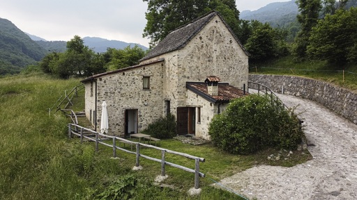
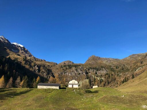
If you want to try for your weekend something different, more natural, more relaxing... Book a lodge all for you, equipped with sauna and relaxation area, in the peace of Taleggio Valley where the welfare meet farming tradition and its old dairy knowledge.

B&B La Tana dei Tasso

B&B La Tana dei Tasso

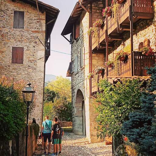
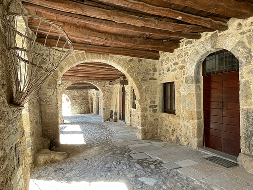
The B&B La Tana dei Tasso is run by Lucrezia, by her mother Mariella and her family that live in the historical village of Cornello dei Tasso forever.The Bed and Breakfast offers four rooms with private bathroom, free Wi-Fi and the possibility to experience activities and the everyday life of the hamlet, within which there's the Tasso's museum and the postal history, the stable of the Tasso and all the cultural activities that characterize the hamlet.

Shelter Mount Poieto

Shelter Mount Poieto

In the new panoramic restaurant overlooking the beautiful mountains you may dine in the rustic mountain-style dining room or in the traditional tavern in front of the fireplace. Chef Tomas’ careful and passionate culinary skills will delight your palate with the recipes from our traditional menu for lunch and dinner. The “a la carte” menu is also available for evening dining. Resort guests are treated to a different menu every day. In addition, Monte Poieto offers banquet services for any occasion: weddings, birthdays, anniversaries, corporate and group dinners, and any other occasion you may wish to celebrate.

The events in program

27 April 2024

Branzi
27 April 2024

Branzi
27 April 2024

Branzi
28 April 2024

Dossena
28 April 2024

Branzi