


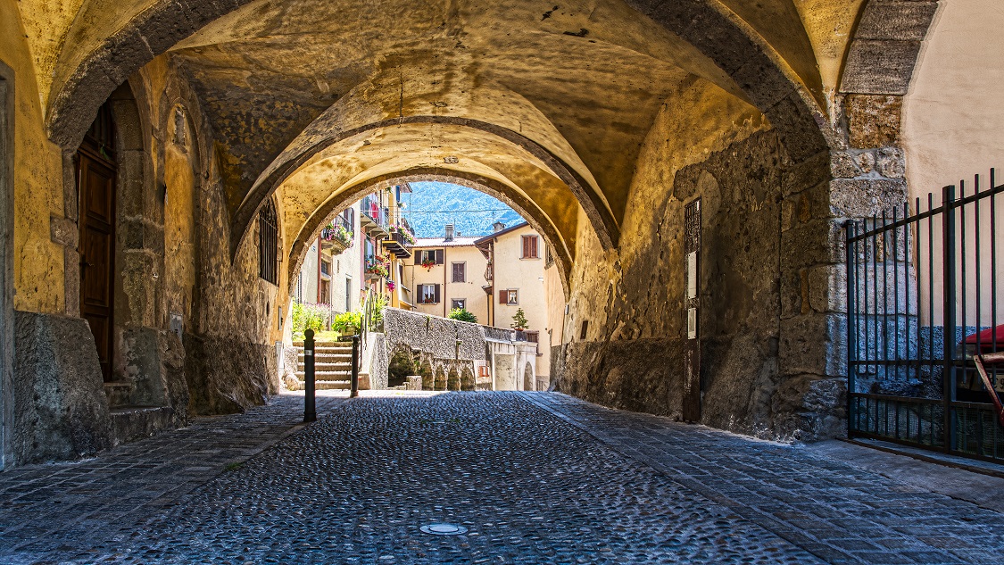
The presence of the capital of the upper valley conditions the route of the Via Priula by faithfully following the historical track up to the height of the church of San Carlo and the subsequent districts Pissamora, Vacchera, Mostacina. Then to avoid going along the provincial road in the direction of Olmo, the trail moves, via a metal footbridge to the right bank of the Brembo di Mezzoldo, intercepting CAI Trail 127A. Inside the forest, the trail climbs to a peak around 680 meters above sea level, near the municipal boundary, and then decreases in view of Cugno di Sotto.
Historical Track
After gaining the threshold of the plateau of Piazza Brembana, the Strada Priula, skirting the parish church entered the built-up area, then well distinguished by its various contrade whose inhabitants were engaged in livestock farming. The new road brought movement and commercial vibrancy to such an extent that it was redefined as the main thoroughfare, still present today with its ancient buildings, encompassing the districts of Orenghi and Pissamora. At the entrance to the town was located the no longer existing Customs building. On leaving Piazza, the road continued along the left bank of the Brembo in the direction of Campelli and Olmo.


