


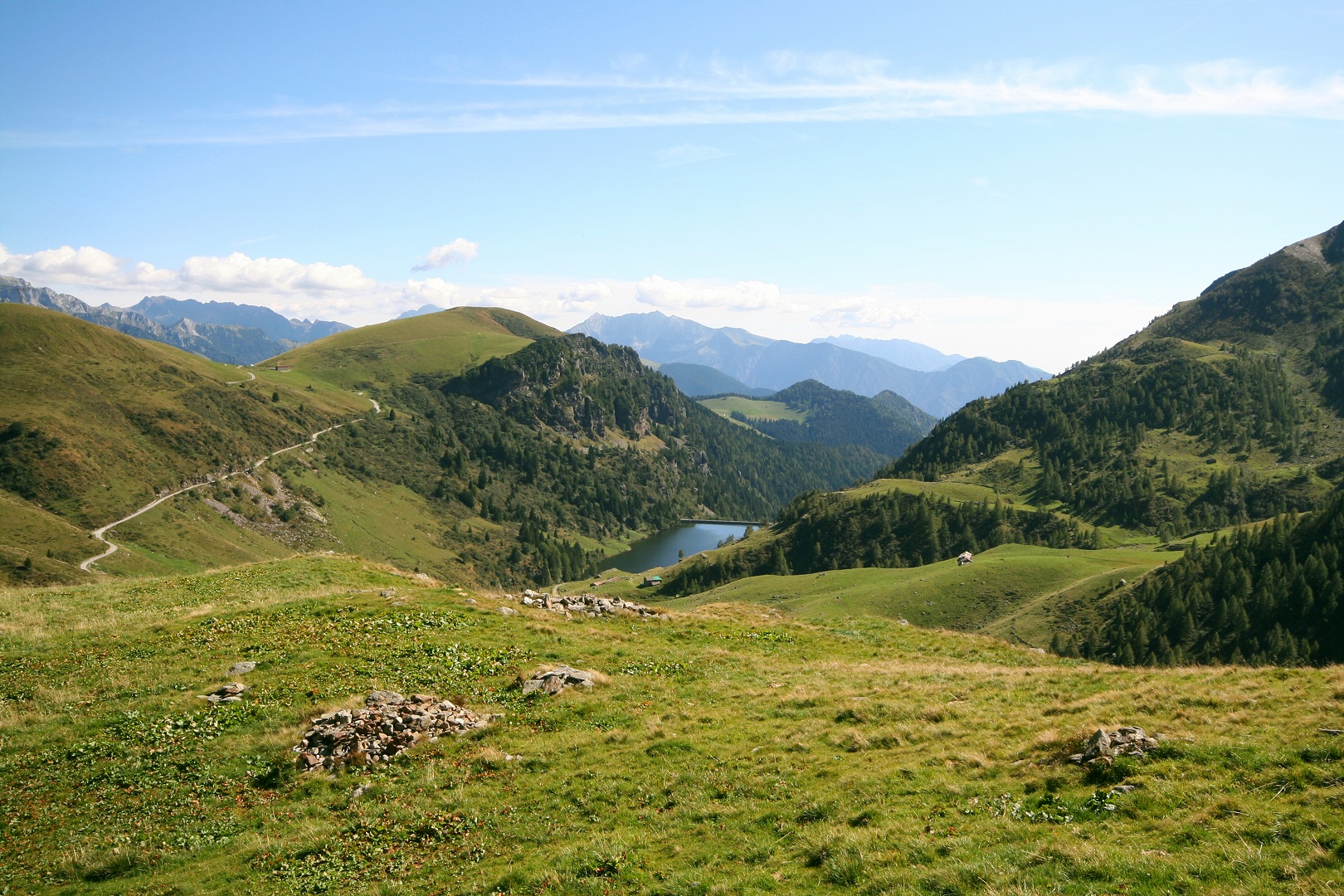
In the municipal territory of Mezzoldo, starting from the cemetery, the historical and hiking trails coincide and continue seamlessly to Passo San Marco, the border with the Province of Sondrio. The initial stretch from Val di Sera to the Mezzoldo cemetery, however, is still studied along the Via del Ferro trail. From a hiking perspective, this is the most challenging segment in terms of distance (12.2 km) and elevation gain (1370 m).
Historical Track
«If the ancient path reached the Parish Church from above, the Priula instead touched the cemetery to climb from below. From here it climbed up through the village of Mezzoldo, where in 1706 a large building was built for the collection of the 4 or 5 soldi per pack intended for the maintenance of the road to San Marco. From this village, the Priula, which can still be traveled almost entirely on the original route to the San Marco Pass, transformed in part only recently to modernize the pavement. In some sections it intersects State Road 470 built in 1966 to connect the Brembana Valley to Valtellina. The Priula reached Ponte dell'Acqua (1272 meters) after about an hour's walk from Mezzoldo. Here it climbed through several hairpin bends in a pine forest until it came out in view of the locality Ancogno at an altitude of 1657 meters. Here today there are a few huts that house the herdsmen during the summer months of alpine grazing. Leaving the houses of Ancogno behind after about half an hour's walk, one arrived at the cantoniera house, a stop desired by Priuli to refresh and offer lodging to wayfarers after the climb, which was very demanding on both sides, Bergamascan and Valtellina. Another half hour or so of walking and you were at the San Marco Pass, at 1985 meters above sea level, the final border between the Most Serene Republic of Venice and the Republic of the Three Leagues.».

Historic Center of Mezzoldo Villages and districts

Villages of Sparavera, Scaluggio and Soliva Villages and districts

Madonna delle Nevi Refuge Shelter, Restaurant


