


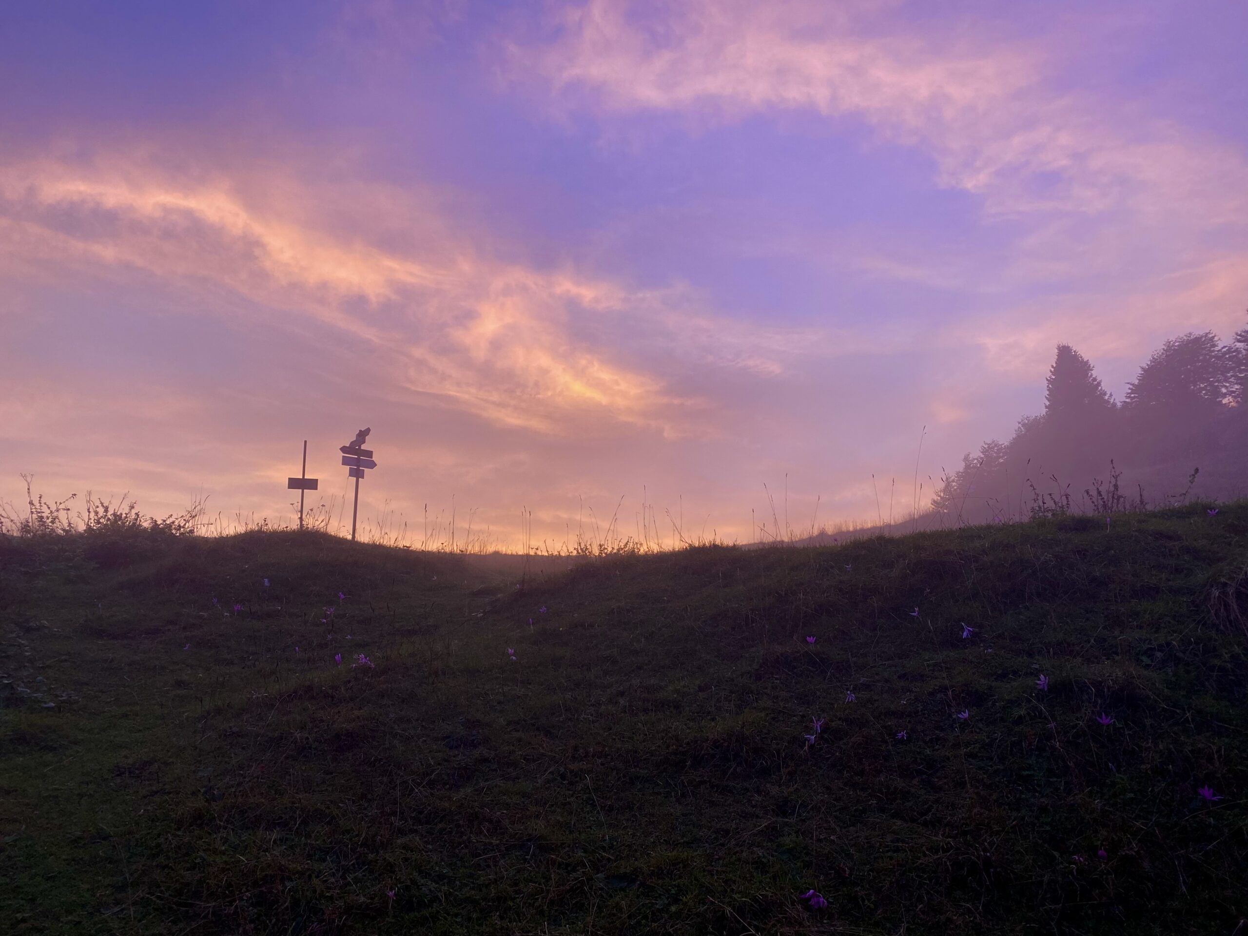
From Cassiglio (604 m) take via del Lago following the road that leads to the small and picturesque Lake Cassiglio, whose right bank you skirt. The route continues along the cart track to a junction, where you take the stepped path on the left that quickly enters the woods. The climb alternates steep sections with gentler ones, leading to the crossing of the rocky Canale Chignolo, the first real mountain passage of the itinerary.
Continuing to climb, the trail reaches the upper part of the Cassiglio valley, skirting the northwestern ribs of Mount Venturosa and crossing other gullies, before exiting the forest. This leads to the wide and scenic Baciamorti Pass (1,541 m), an important hiking crossroads where several trails converge from Val Taleggio, the Pianca di San Giovanni Bianco and the variant that climbs to Pizzo Baciamorti.
From the passo, you ascend the grassy slope of Pizzo Baciamorti to the Rudera hut (1,620 m), then continue with a gentler gradient through the pastures of Valbona, at the foot of Monte Aralalta. At the head of the valley, the trail tackles some steeper switchbacks that lead to the Cabretondo hut (1,866 m) and the Bocchetta di Regadur (1,853 m), where the detour to the Gherardi refuge branches off to the left.
From the saddle, the trail ascends gently towards the Regina hut and the Sodadura pass (1,867 m), then proceeds almost level, skirting the northern slopes of Monte Sodadura. After passing one last saddle, the view opens up to the Artavaggio plateau, where the Cazzaniga-Merlini Hut (1,885 m) is located. To reach it, briefly leave trail 101 and follow trail 103.


