


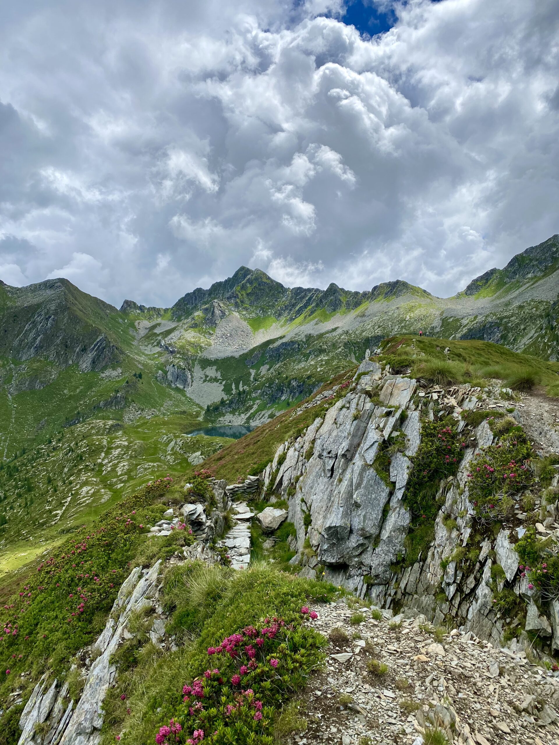
From Rifugio Marco e Raimondo Balicco, the path continues in a high mountain environment, ascending until crossing the ridge of Monte Azzaredo. Once past the crest, you descend on the other side until reaching the Piedevalle hut (1,944 m), immersed in a vast and silent landscape. The trail then continues at mid-slope, offering a regular and scenic pace, to the picturesque Cavizzola lake along path 111, to the Siltri sheepfold (1,973 m), and with a short but decisive climb, to Forcella Rossa (2,055 m).
From here, the path continues with a constant gradient inside the bowl located below the Lemma pass, crossing an open and bright environment until the Fontanini hut. The trail cuts across the southern slope of Cima di Lemma at mid-altitude without facing steep inclines, alternating between wooded and pasture sections. In this area, the traces of past pastoral life are clearly visible: characteristic stone enclosures, called "bàrech," used to keep livestock, accompany the hiker along the valley leading to the Tartano pass (2,102 m).
The pass, reached with a few switchbacks, is also an important historical memorial site: along the entire ridge, the remains of the Cadorna Line can be observed, a defensive system built during World War I. The panorama is one of the most expansive on the entire itinerary, with a spectacular view of the Rhaetian Alps, from Monte Disgrazia to Val Masino, up to the peaks of Val Chiavenna and Spluga; the Porcile lakes on the Valtellina side are also clearly visible.
From Tartano Pass, turn right and follow the watershed, then descend briefly towards Val Lunga. The trail then turns left, ascends to the highest of the three Porcile lakes, and skirts its northern shore in a very evocative setting. Heading southeast, you finally reach Porcile Pass (2,284 m). Shortly before the pass, trail 201A branches off, a variant of the main route, leading to Rifugio Dordona via Bocchetta dei Lupi.
This long and rewarding stage faithfully follows the Western Orobie Trail, representing one of the most complete and fascinating sections of the entire crossing, where nature, history, and grand panoramas blend into an authentic and memorable mountain experience.


