


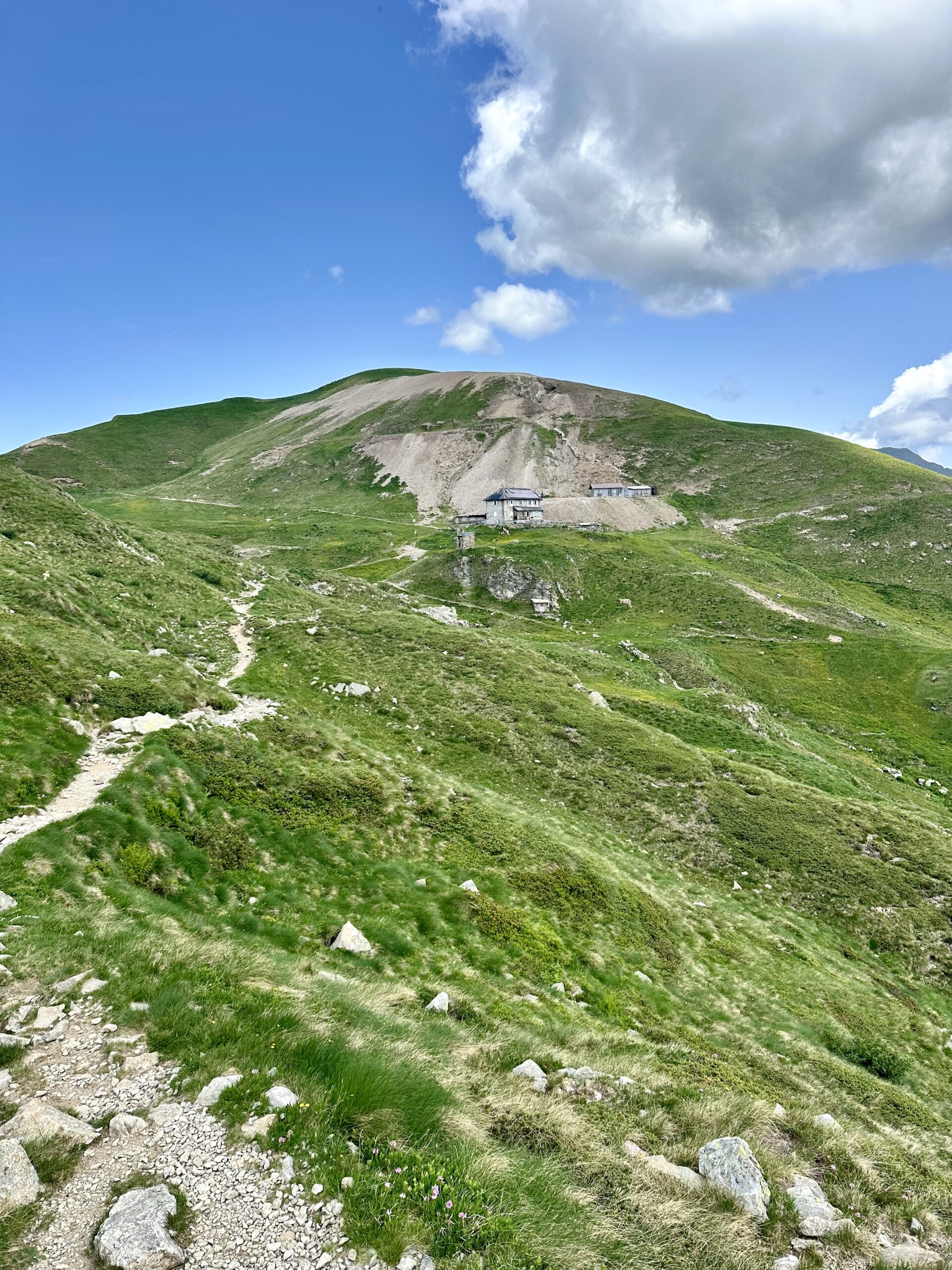
From Piani di Artavaggio, the route continues along trail 101 of the Western Orobie Mountains, crossing wide high-altitude pastures and gentle panoramic ridges that offer spectacular views of the Orobie and Valsassina valleys. The trail alternates between relaxing sections and short ups and downs, always immersed in an open and bright environment, where the presence of mountain pastures and refuges tells the story of the mountain's pastoral tradition.
Continuing at altitude, the landscape becomes increasingly rugged and alpine, until you reach Rifugio Grassi, an important stop on the itinerary. Here, hikers will find hospitality, refreshment, and a magnificent panorama, ideal for a regenerating rest before tackling the subsequent stretches of the journey along the long traverse of the Western Orobie.


