La partenza dell’itinerario è in prossimità del Ponte ottocentesco della contrada di Cadelfoglia di Val Brembilla, nelle vicinanze del ponte è installata la bacheca informativa del percorso corredato di segnaletica con bollatura giallo-azzurra e segnavia in legno.
Dopo aver incontrato la casa rurale della contrada “Tesoli”, si continua fino a raggiungere la contrada di Grumello, che conserva alcune tracce del suo passato nella piccola piazzettina e in una data “1547” incisa in una pietra angolare di una casa.
Leaving Grumello, continue following the CAI trail marker along the path, which in some places is broken by the carriage road until it plunges more continuously into the woods and laps the contrada of “Passabuna.” Once past it, the trail continues to a junction: to the left is Valle dei Suoli, while to the right is the contrada of Cavaglia.
Taking the path leading to the Valley of Soils and its calchere, one enters the Gaiazzo district, also famous for its cisterns and especially the hexagonal-shaped one, unique in the valley.
The long descent that begins as you leave Gaiazzo leads directly into the Valley of the Soils with a very different landscape than the one you leave behind. The atmosphere also changes thanks to the different background sounds, which get louder and louder as you approach the valley: if before you were fighting against the scarcity of water, here you have to fight with the opposite, because small waterfalls and rivulets of water at every corner appear as if by magic from the earth.
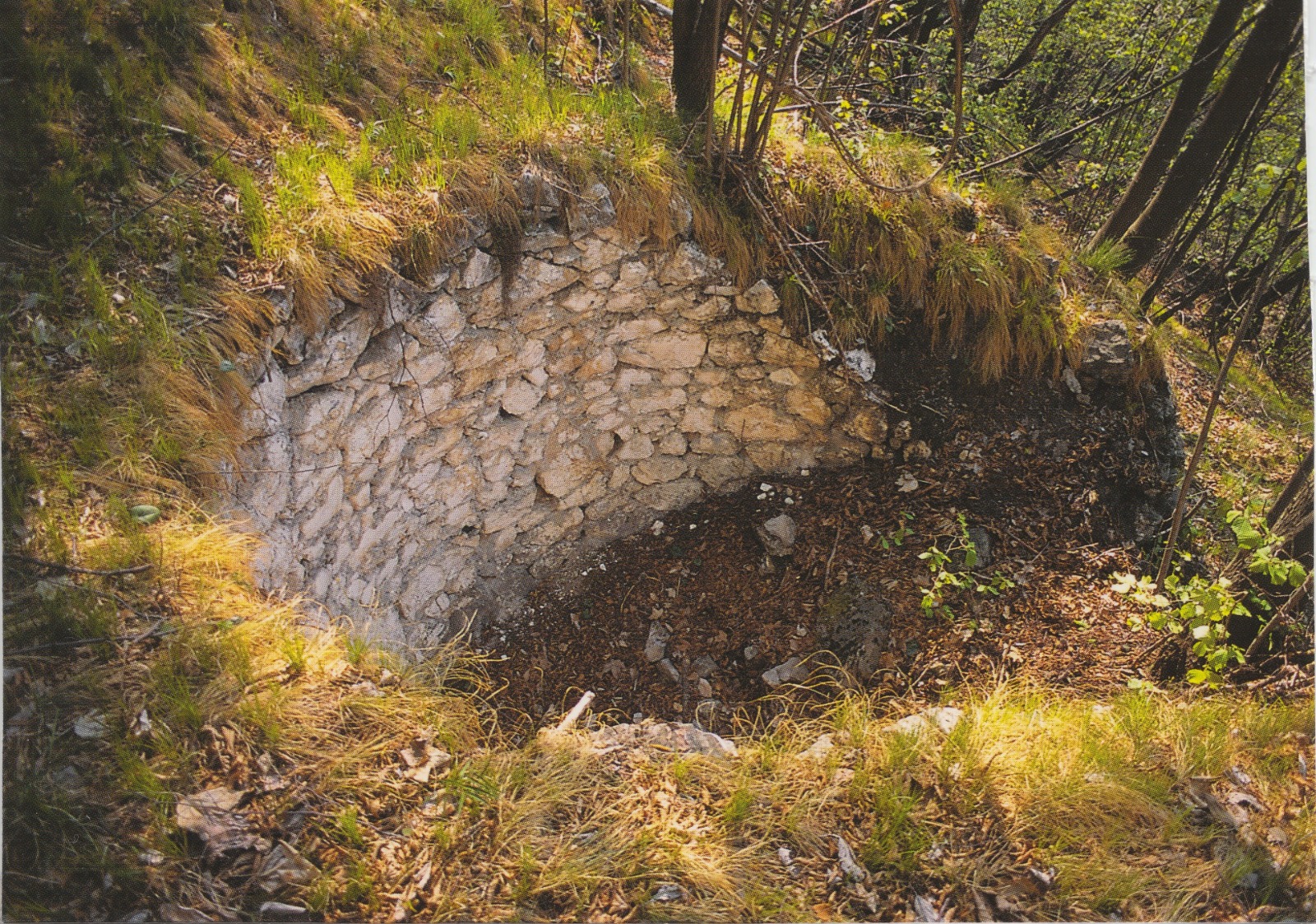
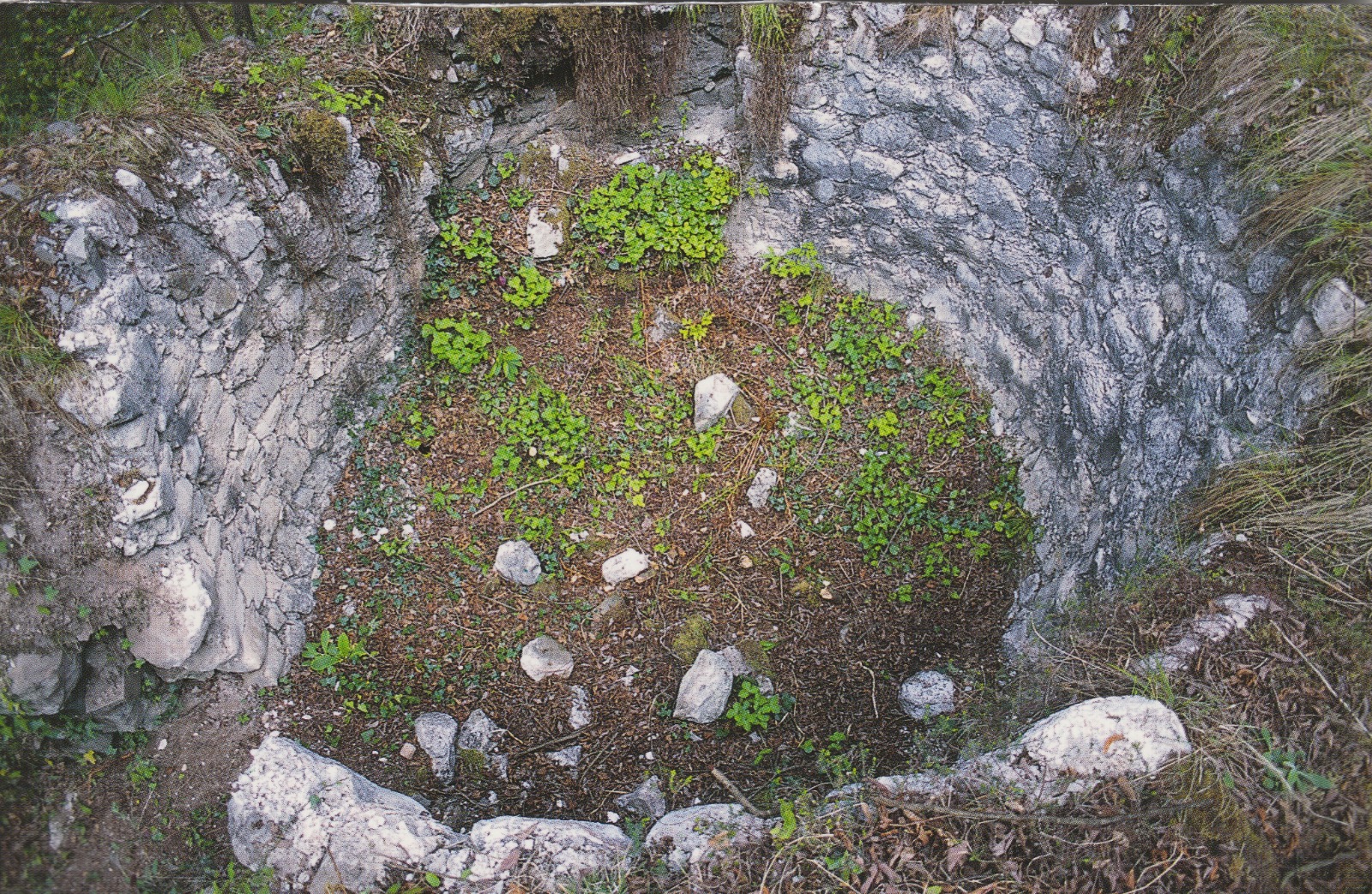
At the end of the descent, having reached the vicinity of the watercourse that channels all the springs, the remains of some calchere appear. Unfortunately, very little appears today of the constructions favorably located on the path. The poor state of these constructions also stems from the fact that the stones of the retaining wall were taken for the construction of nearby stables, leaving only the bare hole. Instead, to find an intact calchera, it is necessary to move away from the trail into an impervious area by continuing alongside the water of the valley and climbing for several hundred meters. The structure is located under a high rock face and preserves the entire earthen retaining wall in pristine condition.
Under the high ridges of this area, in unthinkable and sometimes unbelievable places there are other excellently preserved limestones, demonstrating that in situations of necessity the ingenuity of our ancestors made up, with labors that would be unreal today, for the scarcity of materials. Resuming the marked path, we descend along the access road to the communal springs until we come across some renovated huts and others now in serious disrepair. Just near one of these you notice another calchera, also now completely emptied of stones, of which only the circular hole and a few whitish boulders remain today. Near the new bridge built for the access road to the municipal springs, deviating to the right we enter the other side valley that joins the Valle dei Suoli for about a hundred meters until we reach another stream; from there we follow the water up a path and after another hundred meters on the other bank we can admire a large calchera, easily accessible and excellently preserved. Returning to the CAI trail, one passes through the locality “Tesotti” and the center of the Cadelfoglia district, where the trail ends, reaching the starting point of Capreduzzo, walking on the provincial road and descending for a few hundred meters.